The rainwater mapping outputs were produced as part of the CEHI-UNEP collaboration on promoting rainwater harvesting in the Caribbean. These outputs are intended to demonstrate geographic information system (GIS) assisted procedures that can be used and/or adapted to planning applications. Antigua and Grenada were pilot countries in the demonstration of these procedures.
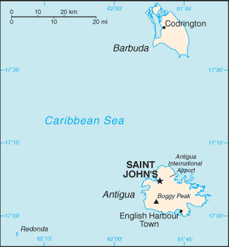
Antigua
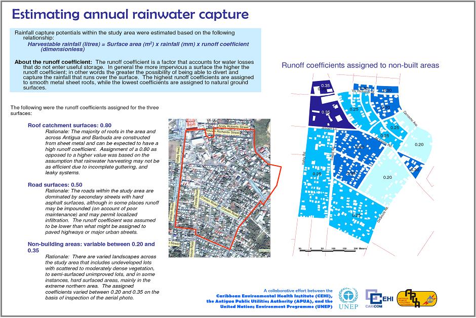
The mapping for Antigua demonstrates how GIS tools can be used to estimate the rainwater capture potential of roof, road and non-built surfaces in a peri-urban environment in Antigua during the dry and wet months under (1) average rainfall conditions, (2) metrological drought conditions and (3) under a climate change scenario where the annual rainfall was simulated to be 30% below the long term average. Water supply deficits and RWH requirements were also estimated on the basis of varying levels of potable water service reliability. |
|
|
| |
| |
|
|
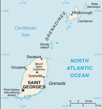
Grenada
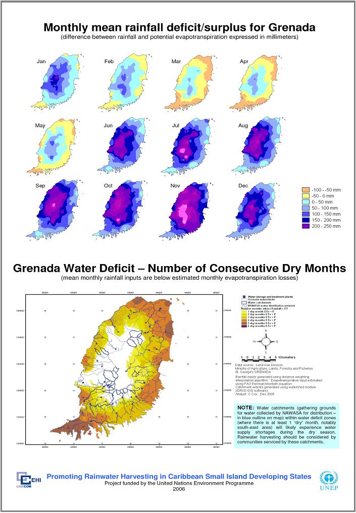
The data presented in the Grenada RWH mapping exercise is intended to assist planners in water sector development initiatives through identification of areas over Grenada that will require investment in water augmentation measures (based on water availability) such as rainwater harvesting. The data presented is preliminary and will require validation through field observation. It must be noted that the analyses was restricted to mainland Grenada, given the lack of comparable rainfall data for Carriacou and Petit Martinique. |
|
|
| |